Rafael strengthens to a Category 1 hurricane
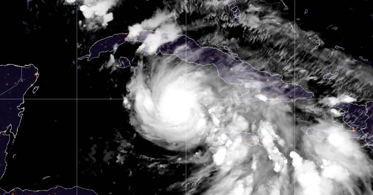
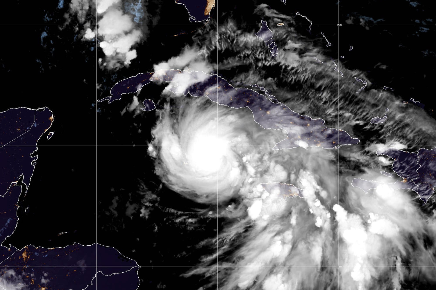
Tropical Storm Rafael strengthened into a Category 1 Hurricane on Tuesday evening near the Cayman Islands, the National Hurricane Center said.
By 10 p.m., Rafael was passing the Caymans, its center having slipped through the waters between Grand Cayman and Little Cayman, according to a National Hurricane Center update.
Maximum sustained winds increased from 75 mph, just above the 74 mph threshold to be designated as a hurricane, to 80 mph, the hurricane center said in its latest update. It was moving northwest at 13 mph.
The storm is forecast to “rapidly intensify” over the next 12 to 18 hours, becoming a Category 2 hurricane defined by sustained winds of at least 96 mph, before weakening as it makes landfall in Cuba, according to the update.
It will then regain some of its strength as it aims for the Gulf of Mexico, it said.
“Rafael could briefly weaken over Cuba but is then expected to emerge into the southeastern Gulf of Mexico as a hurricane,” the hurricane center said.
A hurricane warning was in effect Tuesday for the Cayman Islands and the Cuban provinces Pinar del Rio, Artemisa, Mayabeque, Matanzas and the Isle of Youth. Havana was also covered by the warning, which signals hurricane conditions, including destructive winds and flooding, within 36 hours.
The government of the Cayman Islands issued a shelter-in-place advisory for Grand Cayman effective at 10 p.m. local time, according to a statement. “The public is advised to remain indoors and stay informed,” it said.
A shelter-in-place advisory was already in effect for the rest of the islands, the government said. Those in the Cayman Islands should expect damaging winds, torrential rain, a storm surge of up to 3 feet and wave heights of up to 15 feet, it said. People should stay away from the coastline, the government warned.
A storm surge of 6 to 9 feet along the southern coast of Cuba was possible overnight, federal forecasters said.
A tropical storm watch is in effect for the Cuban provinces of Camagüey and Las Tunas; meanwhile, a tropical storm warning is in effect Jamaica, for the lower and middle Florida Keys from Key West to west of the Channel 5 Bridge, and for the Dry Tortugas.
Rafael is forecast to move even farther westward as it continues its trek north over the next few days, federal forecasters said. The storm was forecast to be near or over western Cuba on Wednesday.
It was expected to further strengthen before it makes landfall in Cuba, the center said Tuesday afternoon.
Hurricane conditions are forecast to hit the Cayman Islands by Tuesday evening, then in western Cuba and the Isle of Youth on Wednesday. Tropical storm conditions were forecast in Jamaica on Tuesday afternoon and in the lower and middle Florida Keys on Wednesday.
The storm will also bring heavy rain to the western Caribbean through early Thursday, including 3 to 6 inches across western Cuba. Isolated higher totals up to 10 inches are expected across the higher terrain in Jamaica and Cuba, “which could lead to areas of flash flooding and mudslides,” the hurricane center said.
Then heavy rain will spread north into Florida and adjacent areas of the Southeast U.S. by mid- to late week, with 1 to 3 inches of rain expected for the lower and middle Florida Keys.
The southwestern corner of Florida, including the Keys, could get tornadoes starting Wednesday morning and extending into Wednesday afternoon, Brennan said.
Forecasters were still uncertain about the storm’s path once inside the Gulf of Mexico, but said it was likely to weaken again amid the Gulf’s relatively cooler waters.


